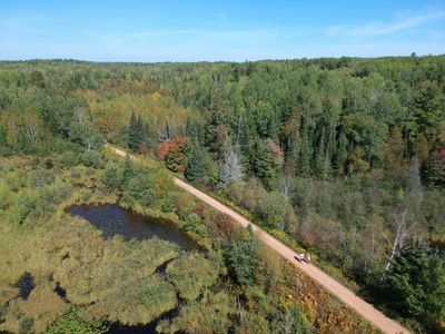
Photography and Aerial Imaging
Through the Lens
Every place I visit — every trail, garden, waterway, and back-road destination — I see through at least three different sets of eyes. From 400 feet in the air. From the middle of a 360° interactive photograph that lets you stand inside the moment. And up close, at ground level, where the real story lives.

Interactive aerial and ground 360° photos
Step inside the place before you visit.
360° photography isn't just a novelty —
A photograph shows someone a moment. A 360° image lets you inhabit it. You can spin the view, look up, look down, walk the perimeter of a space virtually before you ever show up in person. I shoot both ground-level and aerial 360° using platforms compatible with Momento360 — fully interactive, embeddable anywhere. Use your cursor or finger to explore the interactive photographs below.
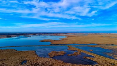
Ground Level Details
The stories drones can't tell.
Aerial photography shows scale and context. What it can't capture is the face of the winemaker pulling a cork at 7am before the tasting room opens. The detail of a 40-year-old espaliered apple tree growing against a stone wall. The way a sculpture's shadow lands on a garden path at 4 in the afternoon. That's what I'm looking for at ground level — the specific, unhurried detail that makes a place feel like a place and not a promotional image.
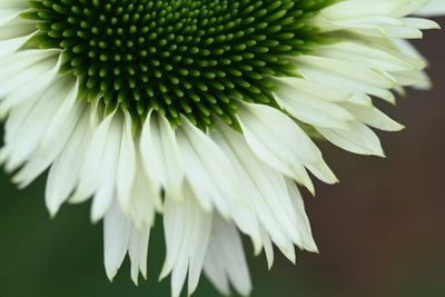
The aerial perspective changes everything.
Most people have never seen the places they love from above. A trail that disappears into a ridgeline. A sculpture garden whose layout only makes sense from 200 feet. A winery whose estate stretches three times farther than you thought. I fly legally, safely, and with full FAA Part 107 certification — which means I can access locations most drone operators legally can't.